
 a
Three continents
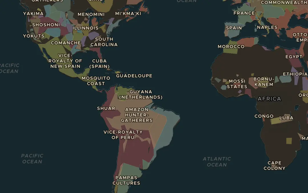
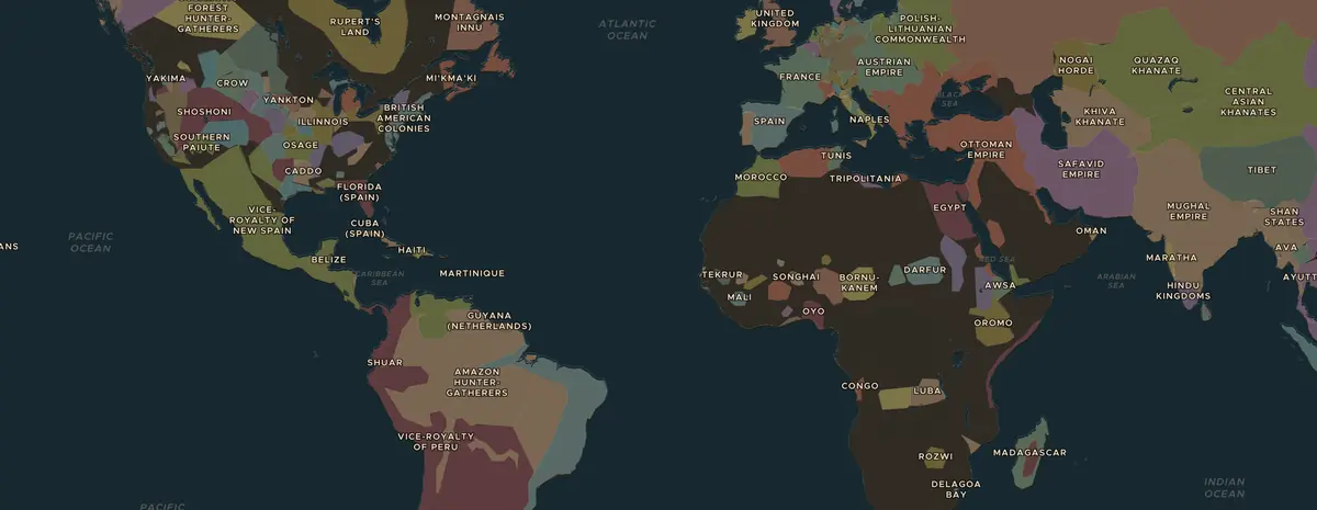
Open the map in 1750 and turn on Trade Routes. Follow the Atlantic Triangular Trade between Europe, West Africa and the Americas. What was carried on each side of the triangle?
Abrir esta vista en el mapaAtlantic world · 1500s-1860s
For more than three centuries, about 12.5 million Africans were forced onto ships bound for the Americas. Students map where captives came from and where they were taken, hear the voices of those who survived, and ask how this history should be remembered.
Lección en directo · nuevo en Classroom
Proyecta la pizarra. Los alumnos entran con un código de seis cifras, sin cuenta, y marcan en el mapa: dónde estaba la frontera, de dónde venía el grano. Al mostrar la respuesta, caen todos los pines y gana el alumno más cercano.
19 € al mes: todas las lecciones en directo, todas las fichas, cancela cuando quieras. Roma en su máximo esplendor funciona en directo gratis.


O como tarea · nuevo
Las mismas 7 rondas, sin pizarra: cada alumno las hace solo en su móvil, ve todas las respuestas y explicaciones al momento, y el informe se completa a medida que avanzan. Disponible una semana, con un código y un enlace para compartir donde quieras.
La tarea está incluida en Classroom, igual que la clase en directo. Todos pueden poner la lección gratuita como tarea.
 Atlantic worldThe Middle Passage and the Atlantic slave trade
Diapositivas · nuevo
22 diapositivas: la portada, los 3 pasos del mapa con sus imágenes y un enlace al mapa interactivo, las preguntas para debatir, el cuestionario con la respuesta en la siguiente diapositiva y la ficha de actividades. Las notas del orador incluyen sugerencias para explicar. Es un archivo .pptx, así que se abre en PowerPoint, Keynote y Google Slides, y puedes modificar lo que quieras.
19 € al mes: todas las presentaciones, todas las fichas y todas las clases en directo. Roma en su máximo esplendor incluye todo gratis.
Leer en voz alta
For more than three centuries, about 12.5 million Africans were forced onto ships bound for the Americas. Students map where captives came from and where they were taken, hear the voices of those who survived, and ask how this history should be remembered.
Al terminar la lección, los alumnos podrán
Proyecta el mapa o deja que los alumnos lo sigan en sus dispositivos. Cada paso abre el mapa en el año y lugar correctos.
a
Open the map in 1750 and turn on Trade Routes. Follow the Atlantic Triangular Trade between Europe, West Africa and the Americas. What was carried on each side of the triangle?
Abrir esta vista en el mapa
b
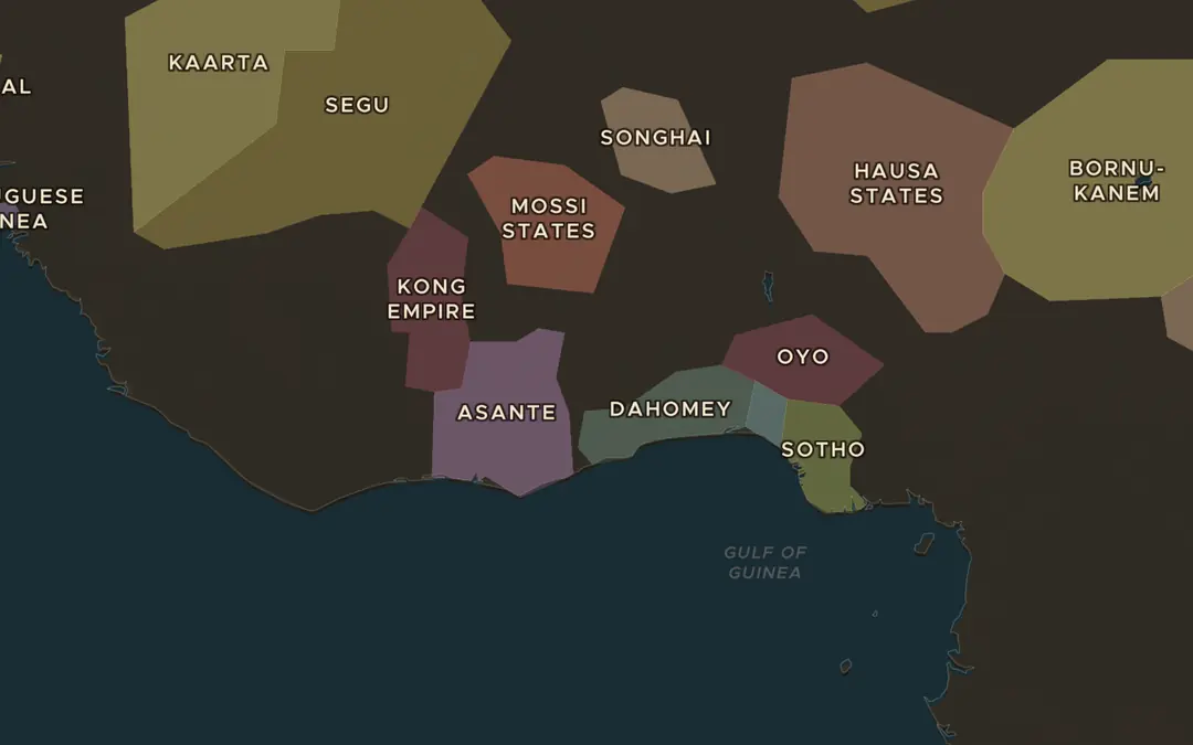
Jump to 1783 and zoom in on the coast of West Africa. Find states such as Asante, Oyo and Dahomey inland. European traders mostly stayed in forts on the coast. Why could they not simply march inland?
Abrir esta vista en el mapa
c
Zoom out to the Atlantic. Find Brazil, the Caribbean islands and the east coast of North America. Which region do you think received the most captives? Check your guess during the lesson.
Abrir esta vista en el mapaElige dos o tres. Van desde qué pasó hasta por qué fue importante.
Play a round of Rule History as Elizabeth I. In the 1560s she backed the voyages of John Hawkins, the first English slaving voyages. Discuss: which decisions in the game have consequences for people who never had a say?
Abrir Rule HistoryPor 19 € al mes tienes todas las fichas, las diapositivas de cada lección, todas las clases en directo y el espacio de trabajo de la clase. La lección gratuita se imprime sin suscripción.